The Absheron Peninsula Water Quality Map
Published on 2026-09-16 · 5 min read
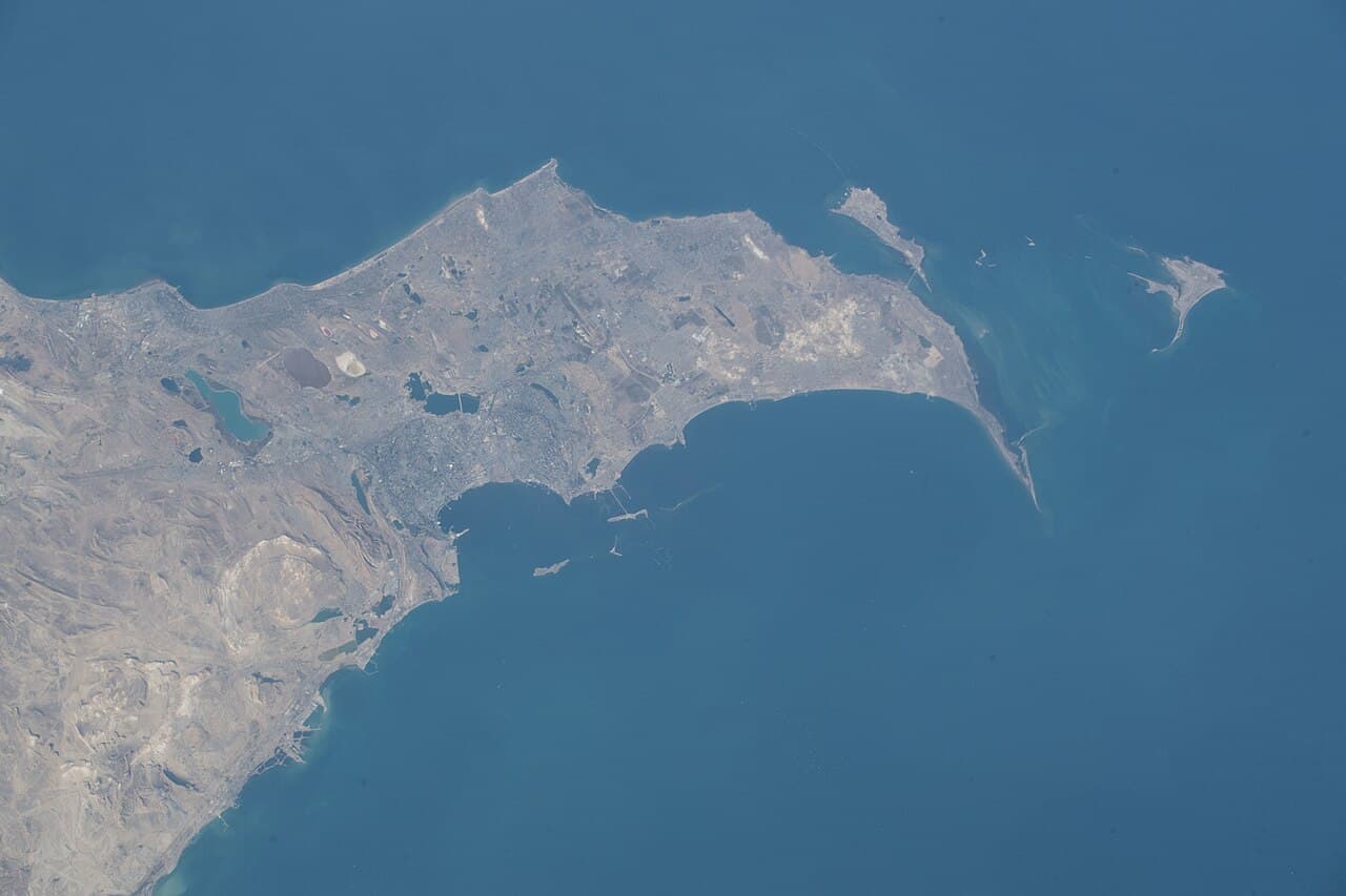
In the article on the Baku Bay swimming ban we set out why you cannot go into the water in the city centre. The question that remains is a more precise one: where exactly is the water clean, and on what basis is that decided. The answer is more interesting than expected, because it turns out there are two different measures both called "clean" - and they do not always agree.
Two questions that sound like one
The first is about infrastructure: is there a sewer pipe discharging into the sea here? That is a fixed fact, determined by how the area was built.
The second is a measurement: what is the bacteria level in the water today? That is a test result, and it changes from week to week.
Most guides answer only the first and present it as the answer to the second. That is a mistake, and there is one concrete example of why.
What the monitoring actually found
The Ministry of Ecology and Natural Resources carried out monitoring between 28 June and 4 July 2025. These were the results:
| Beach | Finding |
|---|---|
| Bilgah | Suitable for use |
| Nardaran | Suitable for use |
| Buzovna | Suitable for use |
| Mardakan | Suitable for use |
| Shuvalan | Suitable for use |
| Zagulba | Suitable for use |
| Pirshagi | Suitable for use |
| Novkhani | Unsuitable - microbiological pollution |
| Turkan | Unsuitable |
| Hovsan | Unsuitable |
| Shikhov | Unsuitable |
| Sahil | Unsuitable |
| Sumgayit | Unsuitable |
Novkhani: the case that breaks the assumption
Novkhani appears on the official list of areas where there are no sewer pipes discharging into the sea. And yet, when actually tested, it was found unsuitable for use on microbiological grounds.
Both lists are correct. They simply measure different things.
Microbiological contamination can arrive from sources that are not a pipe marked on a map: surface runoff after rain, private septic systems in the settlement behind the beach, agricultural activity, or simply bather load in a shallow stretch with slow water exchange. The absence of an outfall is not a guarantee - it only says that one particular source of pollution is not present.
Which is why the recommendation bears repeating explicitly: do not treat the table above as today's status. It records monitoring from the summer of 2025, and its purpose is to show that the map is not fixed - not to serve as clearance.
What is fixed, and what changes
Fixed: the geography. Baku Bay is a semi-enclosed bay with a port, industry and urban drainage, and its water exchanges slowly. The north-eastern coast is open sea, with no enclosed basin and no port. That structural difference is not going to change.
Variable: the result at a given site on a given day. A beach that was fine in June may fail in July, and the reverse.
And here a factor enters that almost no guide mentions: the wind.
The Khazri
The Khazri is a cold northerly wind that blows off the Caspian across the Absheron Peninsula throughout the year, and it is one of the prevailing winds in the Baku area. It can reach gale force.
Strong or moderate winds blow across the region on roughly 250 days a year, and high waves are especially common between November and March.
For a swimmer this has two practical implications. The first is that sea conditions on Absheron are not as settled as in an enclosed sea - a calm day and a rough one can sit side by side. The second is that wind moves water, and therefore moves what is in it: wind direction affects what is carried towards the shoreline and what is carried away from it, and this is one of the reasons monitoring results shift between tests.
How to check properly
The most current check: since 2026 the Ministry of Ecology has run a Telegram bot for checking bacteria levels at beaches. It is the only source that describes today rather than last season.
Three field checks: whether there is a lifeguard and the beach is maintained; whether drilling derricks are within sight; and whether locals are going into the water. The third is usually the most reliable.
A geographic rule of thumb: the north-eastern side of the peninsula is consistently better than the bay. That holds as a pattern, and it does not guarantee a specific site on a specific day.
Why this belongs in a property decision, not only a holiday one
The distinction between fixed and variable is exactly the distinction that matters to a buyer.
A single day at the sea can be planned around a test. A property cannot be moved. Someone buying a flat on the waterfront is in effect buying the fixed geography of that point - whether it sits in an enclosed basin or on open coast, whether there is industry upstream, and how the settlement behind it handles drainage. Those are the factors that will not change over a holding period.
What will change - a test result in a given week - is noise. Anyone pricing a property off a headline about a single beach closure is pricing the wrong thing, and so is anyone ignoring that the settlement behind the beach fails monitoring repeatedly.
The difference between the two is what makes this worth checking before a purchase rather than after. The coastal areas can be compared side by side in the neighbourhood comparison tool.
Related articles
 Living & visiting guide
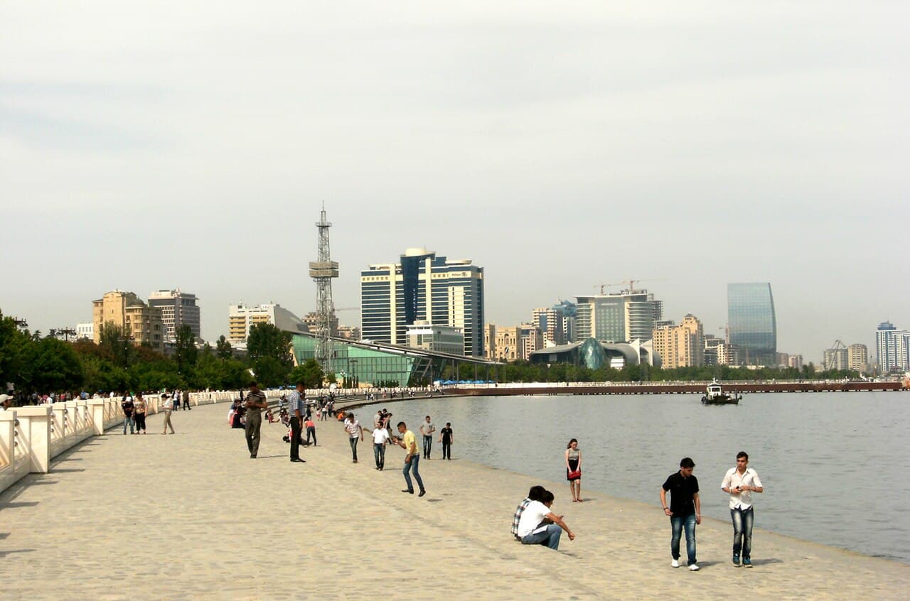
Why You Can't Swim in Baku Bay — and Where You Can
Swimming is banned in Baku Bay and Shikhov closes most summers, while the northern Absheron beaches stay clean. Here is why, and how to check before you go in
Read more →Living & visiting guideBaku Beaches: A Practical Guide to the Coast
Bilgah, Buzovna, Mardakan, Novkhani and Amburan - what to expect at each beach, how to get there, and why some charge entry when the law says they are free
Read more → Living & visiting guide
Novruz Bayram in Baku: A Complete Spring Festival Guide
Novruz Bayram, the Azerbaijani spring festival — when it falls, its customs, its effect on the city and what it means for property owners and investors in Baku
Read more →